The sun set and the moon rose as we danced and gazed up at the rusty face of Hood Mountain and the rugged Mayacamas range. Honestly, it felt like paradise for us boomers as we boogied with others young and old at this season’s first “Fridays at the Hood.” Thanks in large part to championing by Supervisor Susan Gorin, who was in the crowd, the summer music series previously known as Funky Fridays is up and running again at the Hood Mansion in Kenwood.
It was a perfect Sonoma Valley evening, not too hot or cold, with a mellow breeze, and a sky shifting from blue to rose to cobalt.
While twisting, turning, and sweating, I started wondering about The Mayacamas and why this experience is so special. For all of us who live in the Valley of the Moon, the ridges and peaks of the Mayacamas mean home. I’ve heard that our valley was so named because the moon appeared to rise and fall multiple times behind the hilltops as seen when moving down the lowlands.
The Mayacamas bound our Valley to the east and connect us to our neighbors in Napa Valley. I never realized that the range extends far beyond our Valley for about 50 miles from the baylands all the way to Mt. St. Helena, the Geysers and beyond to Cobb Mountain in Lake County.
Mayacamas is derived from the local Wappo name for a village that once existed in Calistoga. Wappo people lived in the region for 10,000 years or more before first contact. Of course, many died here after missionaries, traders and settlers arrived.
The Mayacamas remain wild and remote enough for mountain lions, bears and bobcats, while tame enough for people to live, hike and explore – with caution.
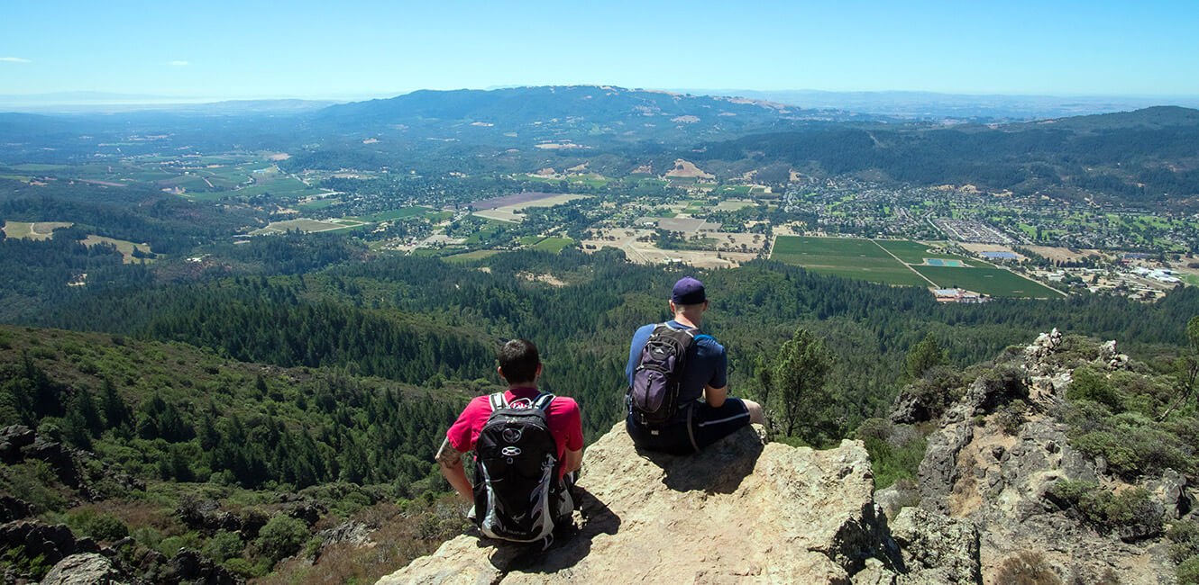
I’ve been drawn to the Mayacamas since I moved to Sonoma Valley in 1988. Climbing up to Bald Mountain in Sugarloaf Ridge State Park has been a hiking staple for decades. Up top you can see coastal ranges in all directions, the broad mass of Mt. St. Helena, and when it is clear, all the way to the snow-capped Sierras.
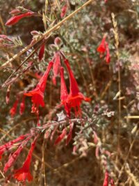
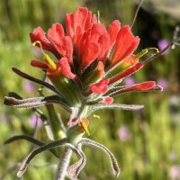
Penstemons are now blooming at the Bald Mountain summit. The Vista Trail is an easier, lower favorite that you can follow to Indian Rock.
The headwaters of Sonoma Creek rise from the earth in Sugarloaf State Park and flow into the Valley. Many significant streams and tributaries come down from the Mayacamas into our watershed, some still bearing salmon species.

Mt. Hood Regional Park is harder to access as it is steep and rocky. The roads and trails often close due to wildfire, flood damage, and road failure. Hiking up and down the canyons and ridges is exhilarating. I recommend checking out the newish Lawson Trail that goes steeply up with several viewpoints and ending at a picnic area on high. There, I’ve seen pileated woodpeckers and red-tailed hawks, and turkey vultures soar in for a look at me and my dog.
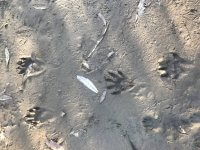
The Mayacamas help connect a critical wildlife corridor. In two years of wildlife camera monitoring, the Sonoma Land Trust detected nearly 9,000 crossings by animals of the Valley floor through road culverts and thousands more above. The Corridor remains at risk of overdevelopment at the pinchpoint at the Sonoma Developmental Center.
There is so much more to say about the Mayacamas. Next time I’m dancing and dreaming about the Mayacamas, I’ll try to listen for the voices of the mountains and what they might want to tell me.
What a wild Valley!

Lots of good info about the Mayacamas. And good hiking suggestions.