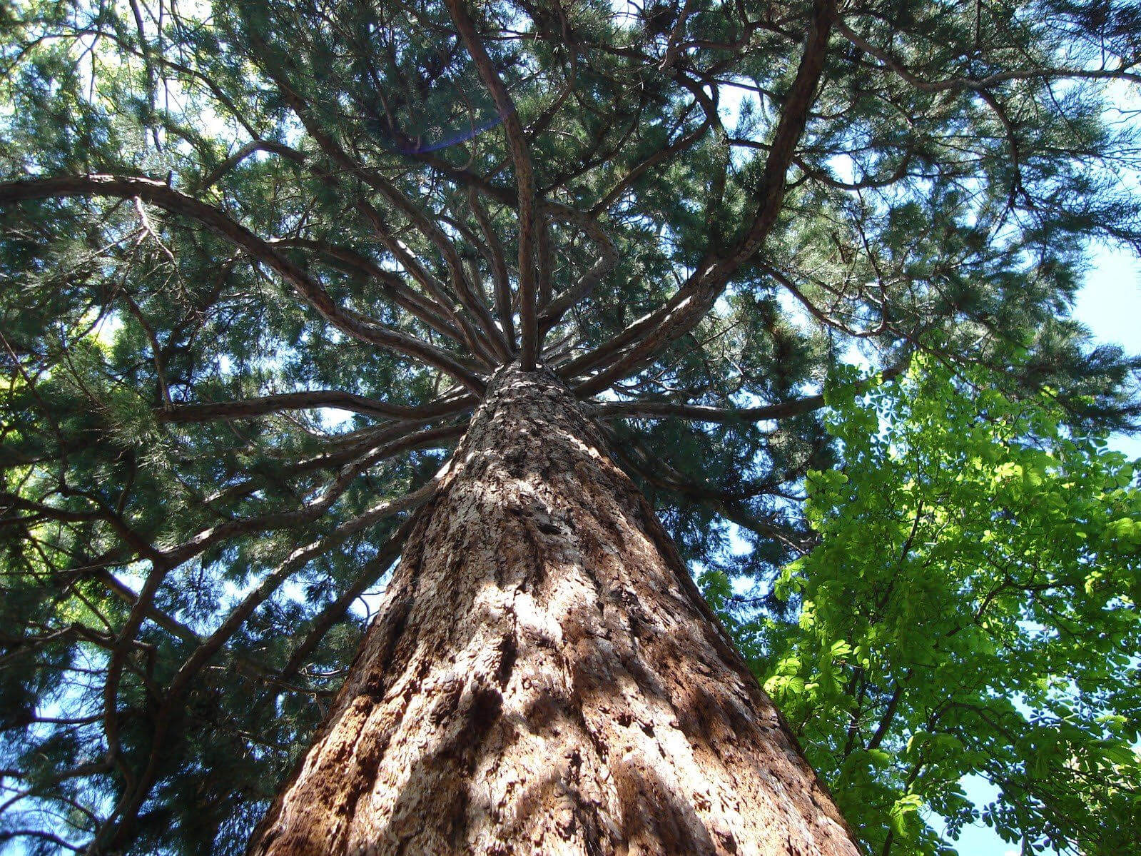
The City Council has approved expenditures to support an inventory of trees within the City limits and their current health to help guide policy decisions and updates to zoning ordinances. Per the Staff Report provided at the City Council’s April 21, 2025 meeting, this effort may provide more protection for the remaining trees in the City and guide planting decisions moving forward. This data will provide key information for the City to prepare an Urban Forestry Management Plan.
This study will also provide details of achieving the primary goals of the Climate Action Strategies that have been adopted by the Climate Action Commission. These include creating cool corridors for bicycle and pedestrian trails, installing green pocket forests, and seeking the Tree City USA designation. The study will provide locations where tree canopy is limited, could be expanded and the best locations to plant within the City’s jurisdiction.
Staff prepared a Request for Qualifications, which was sent to a total of 13 consultants for proposals to conduct the tree inventory and urban canopy assessment. The proposals were reviewed by staff to determine who was most qualified to conduct the analysis based on their scope of work, experience, previous projects, final reports, data software, and cost. Staff interviewed two consultants to gather more information about their proposals and their ability to conduct the work. Staff determined that PlanIT Geo was the most qualified and able to provide the data that the City was requesting.
The scope of work includes two primary deliverables, which entail multiple levels of review and reporting. The urban tree canopy mapping will utilize aerial imagery, LiDAR, and other data sources to identify tree canopy, other vegetation, non-tree vegetation, bare soil, water, and impervious surfaces. This information will be compiled and provided to the City as tree canopy and land cover data in vector and/or raster formats. That data is also used to identify possible planting areas, develop metrics and maps, and help determine ecosystem services benefits. A separate report will be prepared and submitted to the City with access to the data that was collected and informational summaries.
The second deliverable consists of a tree inventory, which will be accomplished by sending tree inventory specialists to the City to evaluate the trees. PlanIT Geo utilizes web-based GIS data collection to allow the City to view the inventory as it is gathered and view key details about each tree. The inventory is tracked using an online software tool called Tree Plotter, which will be accessible by the City and made available for the public. The inventory will provide a tree ID, image, coordinates, species, diameter, height, canopy spread, health, structure, necessary
maintenance, grow space, and any notes. An inventory report is provided after data collection has been completed, which includes informational summaries, graphs and figures.
The current proposal estimates completion of the urban canopy assessment in August and the tree inventory in October. The final product includes data, reports, and access to the web-based GIS software for a year which may be extended.
The total cost is $65,303 and staff is recommending an additional contingency $9,697 if more than 5,000 trees are identified or if additional community education is needed from the consultant with approval by the City Manager.


Be First to Comment