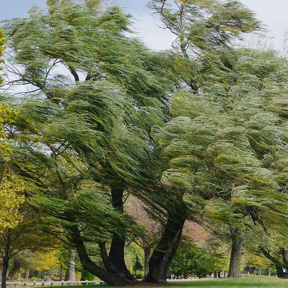
Gusty north-northeast winds are expected to develop as a potential “inside slider” system moves into the Great Basin this weekend. Humidity will still be on the higher end at the start of the event on Thursday, but are expected to quickly dry out becoming critically dry Friday and Saturday, as low as 15%. However, impacts are expected as soon as Thursday afternoon with winds increasing across the region. Most areas will be affected to some degree, with likely exceptions being the immediate Big Sur coast, Monterey Bay coast, and the Marin/Sonoma coast. Winds largely on the order of 20-30 mph can be expected with gusts to 40 mph…isolated gusts to 50 mph across the highest terrain and ridgetops.
* AFFECTED AREA…Fire Weather Zone 006 San Francisco, Fire Weather Zone 502 Marin Coastal Range, Fire Weather Zone 503 Sonoma Coastal Range, Fire Weather Zone 504 North Bay Interior Mountains, Fire Weather Zone 506 North Bay Interior Valleys, Fire Weather Zone 508 San Francisco Bay Shoreline, Fire Weather Zone 509 San Francisco Peninsula Coast, Fire Weather Zone 510 East Bay Interior Valleys, Fire Weather Zone 512 Santa Cruz Mountains, Fire Weather Zone 513 Santa Clara Valley Including San Jose, Fire Weather Zone 514 Eastern Santa Clara Hills, Fire Weather Zone 515 East Bay Hills, Fire Weather Zone 516 Southern Salinas Valley/Arroyo Seco and Lake San Antonio, Fire Weather Zone 517 Santa Lucia Mountains and Los Padres National Forest, Fire Weather Zone 518 Mountains of San Benito County And Interior Monterey County including Pinnacles National Park and Fire Weather Zone 528 Northern Salinas Valley/Hollister Valley and Carmel Valley.
* TIMING…11 AM Thursday until 8 PM Saturday
* WINDS…North 10 to 20 mph with gusts up to 40 mph.
* RELATIVE HUMIDITY…As low as 15 percent.
* LIGHTNING…None.
* IMPACTS…The combination of gusty winds and low humidity can cause fire to rapidly grow in size and intensity. Outdoor burning is not recommended. Despite relative humidity being on the higher end of critical fire weather criteria, we are expecting a widespread and prolonged offshore wind event which will likely dry fuels out very quickly given their volatility over the past several weeks.


Be First to Comment