
The hazy, mild stretch settled over the Valley this week ends Friday afternoon, when the first of at least two storms rolls into Northern California and opens the storm door for the rest of the month.
Rain will reach the Valley Friday afternoon and evening while the Sierra gets its heaviest precipitation late Friday as the snow level drops to around 7,000 feet overnight. Saturday looks mostly dry in the Valley with lingering showers on the West Slope, and then a colder second system arrives Sunday afternoon with steady rain into Monday morning.
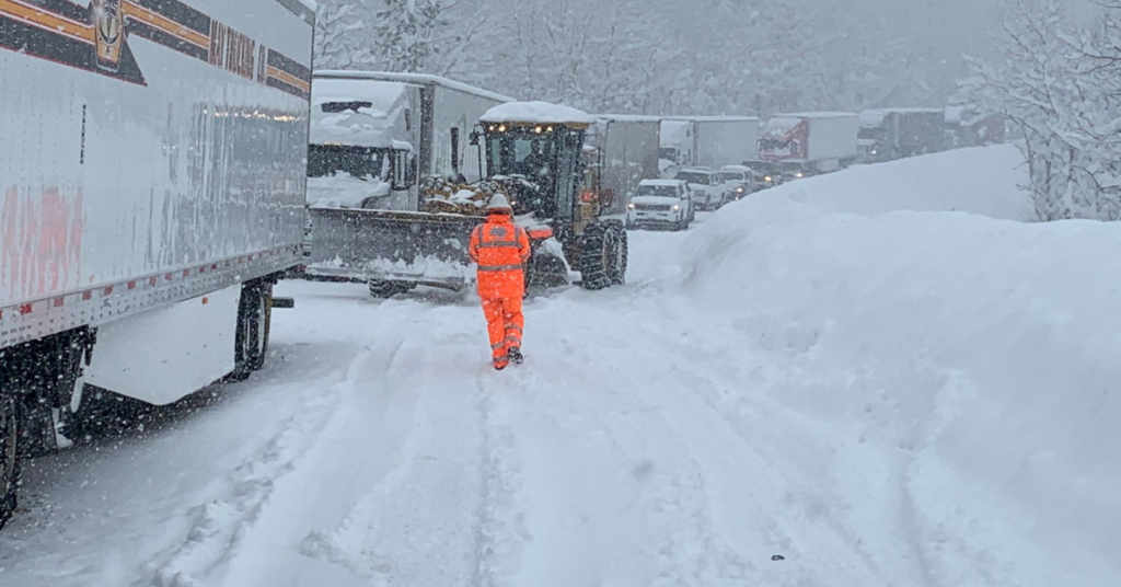
The Sunday storm is the one that matters for the mountains, since its snow level starts near 7,500 feet and sinks to 5,500 feet, which puts accumulating snow on every Sierra pass and makes chain controls likely Friday night and again Sunday afternoon into Monday. Snow totals come later this week.
Rain totals in the Sacramento Valley should run a quarter to half an inch per round, with some spots approaching an inch by Monday afternoon, and foothill totals double or triple that. Flooding is unlikely, though foothill creeks will come up fast.
Out on the coast the story is the swell, with breaking waves of 30 to 40 feet are possible along Northern California beaches, which follows a weekend that already sent 22 to 24 foot waves over the Humboldt Bay jetties.
Anyone driving to Tahoe for the Nov. 20 openings at Northstar and Heavenly should expect a very different mountain by then, and Saturday is the only dry window on offer.
This article and photograph were originally published by ActiveNorCal




Be First to Comment