Hayward-Rogers Creek Fault Analysis
By David Bolling
Much has changed in our knowledge of seismic science since 5:12 a.m. on Wednesday, April 18, 1906, when the San Andreas fault woke up and displaced the surface of the Earth between 20 and 28 feet along a rupture line extending north and south for 296 miles.
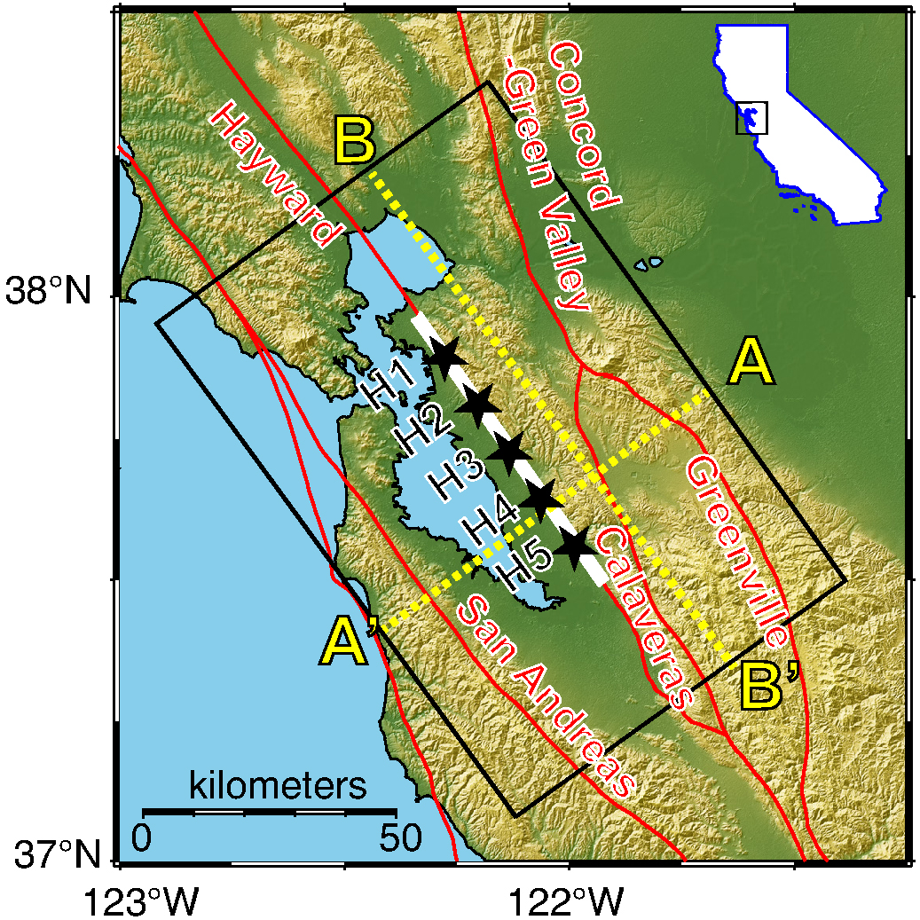
Today, while the San Andreas remains the most potentially destructive fault system on the West Coast, it does not pose the most imminent destructive threat. That distinction, as we have reported repeatedly in these pages, belongs to the Hayward-Rogers Creek fault system, that the United States Geological Survey (USGS) tracks for 75 miles, from San Jose, along the base of the East Bay hills, through Hayward, Oakland, Berkeley, Richmond, under the Carquinez Straits, up along the west flank of Sonoma Mountain past Glen Ellen, Petaluma and Kenwood, through Santa Rosa and all the way to Healdsburg.
There is a scientific consensus of a 99 percent probability that there will be a 6.7 or greater magnitude earthquake somewhere in California in a 30-year window running forward from 2007. And the Hayward-Rogers Creek Fault system is, scientists estimate, the second most likely site for that projected quake. And now, a recently released study published in the scientific journal Seismological Research Letters, concludes there is a 14.3 percent chance of a 6.7 magnitude or larger quake by 2034, and a 33 percent chance by 2043. Those probabilities, the study concludes, makes the Hayward fault “overdue for an earthquake,” and describes the fault as “the most dangerous in the Bay Area.”
The newly released study, authored by Lawrence Livermore National Laboratory scientist Arben Pitarka, is the product of 50 computer simulations of 7-magnitude earthquakes on the Hayward fault, aimed at revealing ground motion estimates based on subsurface topography, such as sedimentary basins and micro basins. These bowl-shaped depressions in the Earth’s crust can amplify ground motion and thus destructive force. Having more detailed maps of where ground motion would by amplified can guide seismic retrofit efforts to stabilize vulnerable buildings, or at least predict where the greatest vulnerabilities lie.
Current earthquake damage estimates for Sonoma County, from a 2021 computer modeling exercise, conclude that:
- A total of 11,427 multi-residential units, 3,615 commercial units, and 1,229 industrial units would be moderately to completely damaged.
- Water, power, and phone service would likely be unavailable immediately after the event. An estimated 19,372 households would be without water, and about 50,000 households would be without electricity. Cell and landline phone service would be affected but would likely be restored within days.
- Key roads would be impacted, including Highways 101, 12, 116 and 121.
- Total income losses would exceed $565 million, and capital losses would approach $3 billion.
- If the earthquake occurred in the middle of a work day, 42 fatalities would occur and 972 people would be injured badly enough to require medical care or hospitalization.
Earthquake science and modeling is in a constant state of refinement, and estimates are only estimates. But as scientists like Petarka continue to model and explore the destructive potential of predictable earthquakes, the need for better construction and retrofit solutions becomes ever clearer. And while California is currently more concerned about wildfire risk than seismic risk, fires can be prevented or mitigated. Earthquakes are completely beyond the scope of human control.


Doesn’t cost much for a few emergency supplies. Flash light and footwear by your bed. Several gallon jugs of water, some canned or packaged food items, battery or crank radio and gas shut off tool.
Much of Sonoma Valleys main roads and utilities could be out of commission.. We are close to the Rogers Creek fault!
Wow
please advise asap